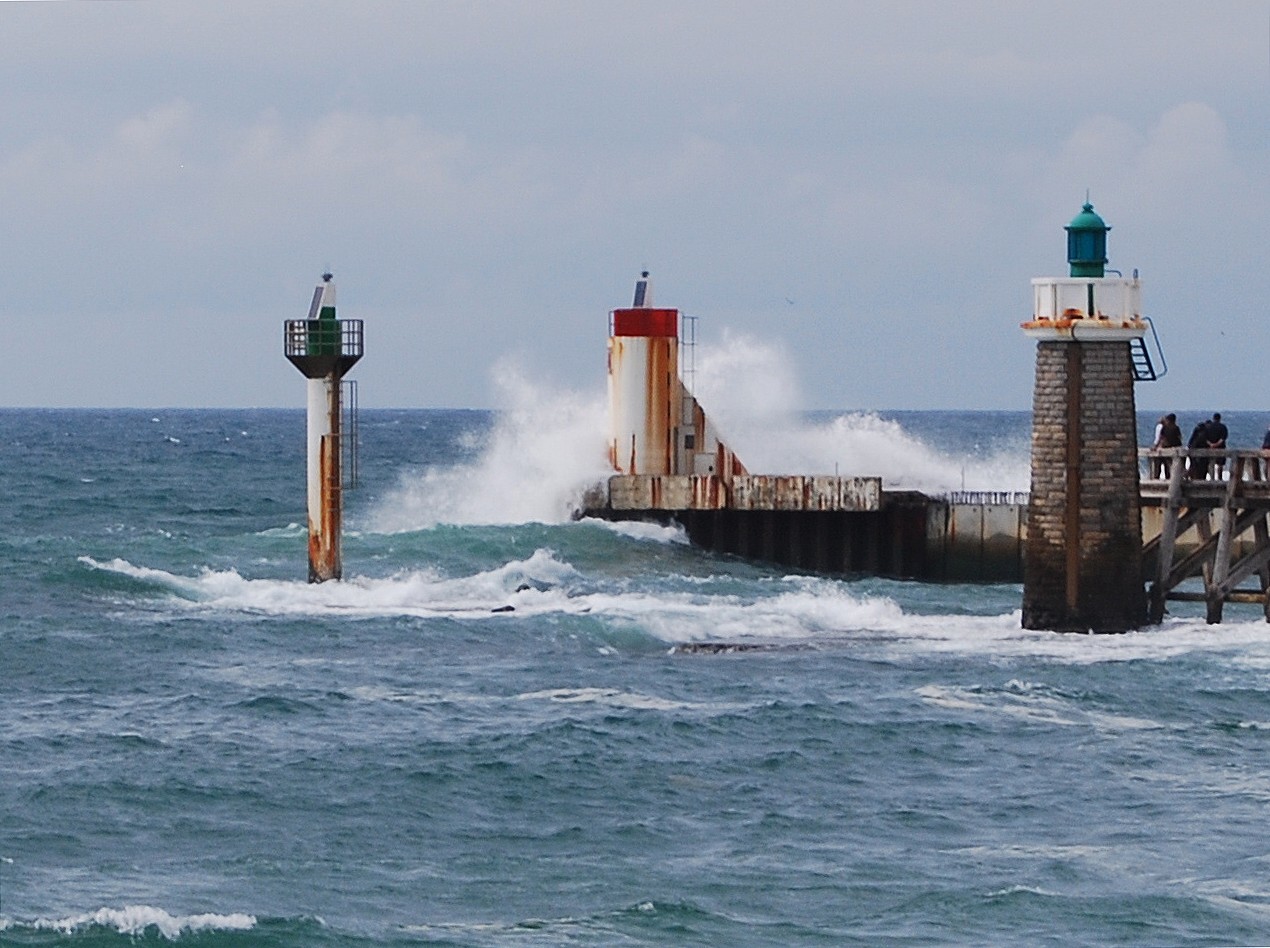
 au pied ;....
de l'estacade
décidée par napoléon III
le 11septembre 1858
Burada Deniz Fenerleri listelenmektedir. Lütfen bilgilerinizi buraya aktarın.


Harbour Lights Collectible Replica in a Limited Edition of 1,200 pieces.
| Nearest Town or City: | Havre-aux-Maisons Quebec Canada |
| Location: | Ile du Havre au Maison, Iles de la Madeleine (Magdalen Islands), Gulf of St. Lawrence. |
| Managing Organization: | Canadian Coast Guard |
| Tower Height: | 27 |
| Description Tower: | White, wooden square pyramidal tower with red trim. |
| Operational: | Yes |
| Date Established: | 1928 |
| Date Present Tower Built: | 1928 |
| Current Use: | Active aid to navigation. |
| Open To Public: | Grounds only. |
| Directions: | The lighthouse is at the southeastern point of the Ile du Havre aux Maisons, in the area known as Butte Ronde. From Highway 199 northbound take the Chemin de la Pointe Basse, then the Chemin des Echoueries; from Highway 1999 southbound, take the Chemin de la Dune du Sud, then the Chemin des Montants and the Chemin des Echoueries. If driving, the best way to reach the Magdalen Islands is by car ferry from Souris, Prince Edward Island. For details, see www.ilesdelamadeleine.com/ctma/madeleine_2.htm. Air Alliance (an Air Canada connector) offers air service from Montreal, Quebec City and other locations. (Thanks to Michel Forand.) Map It! |
| Characteristic Range: | Flashing white every 5 seconds, visible for 20 nautical miles. |
| Height Focal Plane: | 79 |
| National Register: | No |
| State: | Quebec |
| Country: | Canada |
 Üsküdar ın sembolü haline gelen kule, M.Ö. 2475 yıllarına kadar uzanan tarihi bir geçmişe sahiptir. İlk olarak Yunanlılar döneminde bir mezara ev sahipliği yapan bu ada Bizans döneminde inşa edilen ek bina ile gümrük istasyonu olarak kullanılmıştır. Osmanlı döneminde ise gösteri platformundan, savunma kalesine, sürgün istasyonundan, karantina odasına kadar bir çok işlev yüklenmiştir. En uzun soluklu görevi ise geceleri gemilere göz kırpan feneriyle yol göstermesidir. Günümüzdeki kulenin taş hali Nevşehirli Damat İbrahim Paşa tarafından 1725 yılında yapıltırılmıştır. Kulenin adıyla alakalı bir çok rivayet vardır bunlardan en ünlüsü bizans imparatorlarından birinin suç işleyen kızını kuleye hapsettiği için buraya kız kulesi denmiş olmasıdır.


.jpg)