


Recep Tayyip Erdoğan
-
Cumhurbaşkanı Tayyip Erdoğan’a hakaret ettiği iddiasıyla hâkim karşısına
çıkan Murat Belge hakkında T24'de Can Bursalı tarafında yapılan haberdeki
herşeye...
7 yıl önce
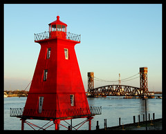
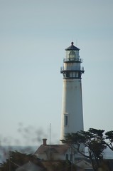
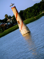
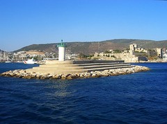
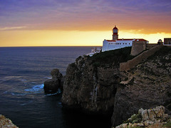
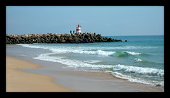
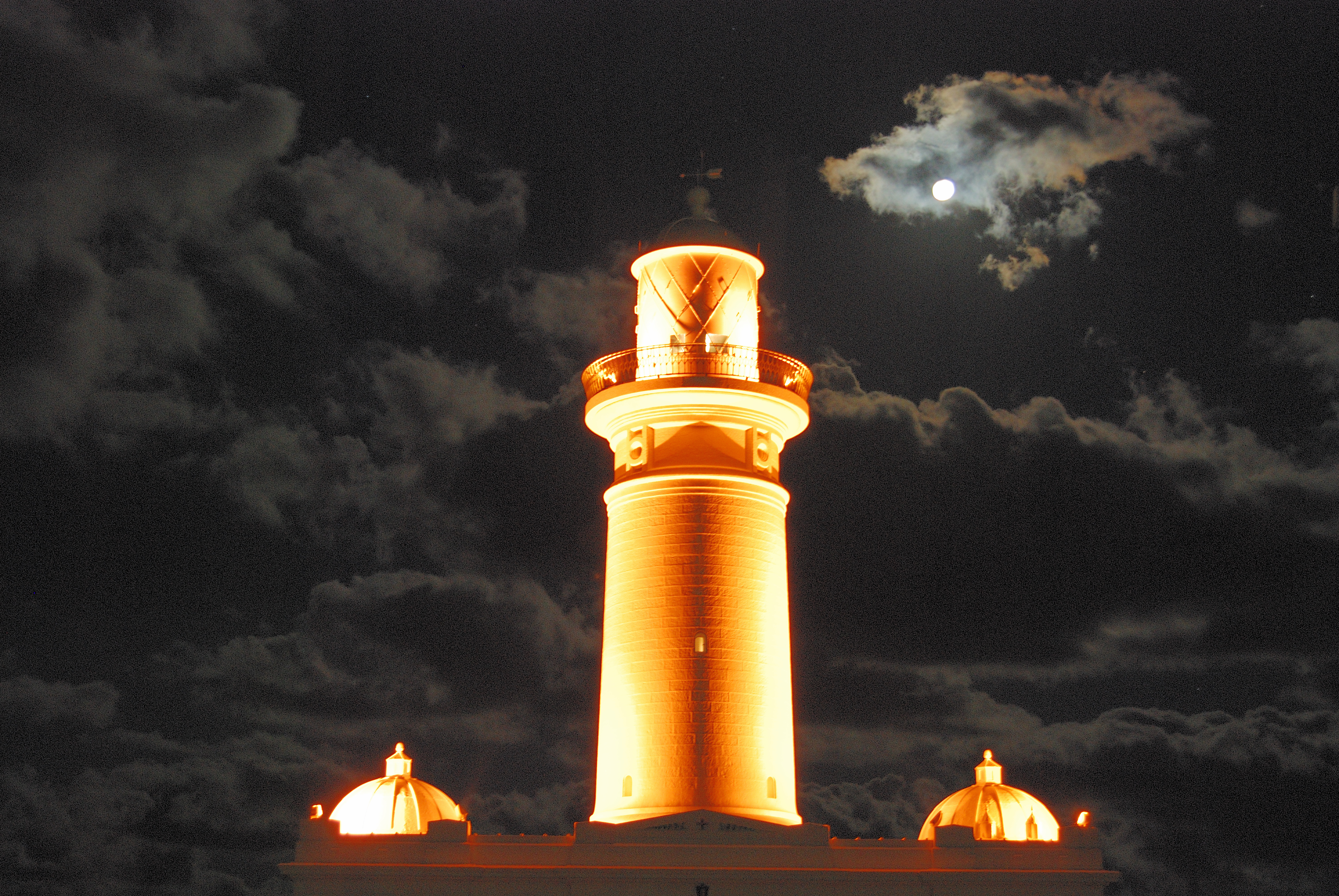
Burada Deniz Fenerleri listelenmektedir. Lütfen bilgilerinizi buraya aktarın.
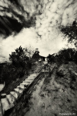
 Feb. 2007 - a cold and blustery day there
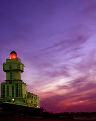
 Coordinates: 46°29′48″N, 30°45′37″EThe Vorontsov Lighthouse (Russian: Воронцовский маяк) is a famous red and white 27.2 meters high landmark in the Black Sea in the port of Odessa, Ukraine. It is named after Prince Mikhail Semyonovich Vorontsov, one of the governor-generals of the Odessa region.
 The lighthouse was built with iron tubing and lead gaskets. It has a one-million watt signal light, and its signal can be received up to twelve nautical miles away. The Morse code call signal of three dashes the first letter is "O" which stands for Odessa. When there is a severe storm or fog, the lighthouse also sounds a foghorn.
The lighthouse is connected with the port's shoreline by a long stone causeway and jetty. The jetties protect the port from the southern high seas.
 The port is protected on the east by huge concrete breakwaters (ramparts), built on rocks, rising above the water.
The current lighthouse is the third lighthouse to stand on the same spot. The first lighthouse was built in 1862 and as made of wood.
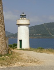
The lighthouse was blown up during World War II by the Soviets, and it was rebuilt after the war.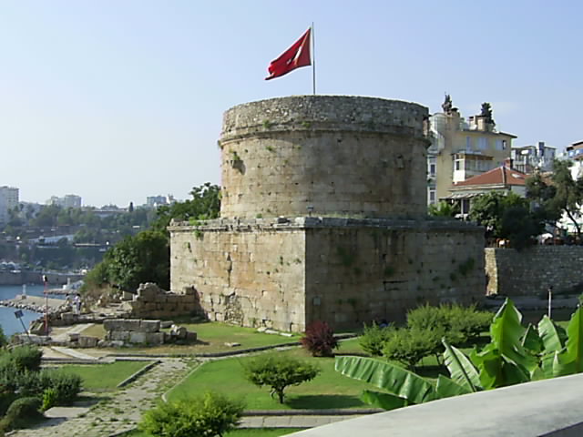 Hıdırlık Tower (Turkish: Hıdırlık Kulesi) is a landmark tower of tawny stone in Antalya, Turkey, where Kaleiçi meets Karaalioglu Park. It is believed to be built in Hellenistic era and was either used as a fortification or a lighthouse in the past.[1]
The tower is situated at the southern side of the place, where the land walls of the city join the sea walls. The 14 m high structure consists a circular tower rising on a quadratic pedestal. The tower's gate at the eastern side leads to a small room, from where a narrow staircase goes up. There are signs of restoration work on the upper part done in the Seljuk and Ottoman eras.
Hırılık Tower is surrounded today with many cafés and restaurants having panoramic view of the Gulf of Antalya.
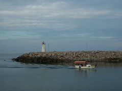
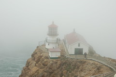
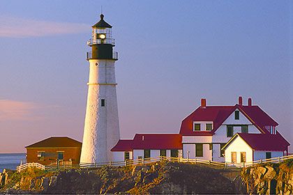
from Wikipedia The sun reflects off of Portland Head Light on a bright winter day. | |
| Location: | Cape Elizabeth, Maine |
|---|---|
| Coordinates WGS-84 (GPS) | 43°37′23″N, 70°12′28″W |
| Year first lit: | 1791 |
| Automated: | 1989 |
| Foundation: | Natural emplaced |
| Construction: | Rubble stone with brick lining |
| Tower shape: | conical |
| Markings/Pattern: | White with black trim |
| Height: | 30.8 m (101 feet) |
| Original lens: | Fourth order Fresnel lens, 1855 |
| Range: | 24 nm |
| Characteristic: | Flashing white 4s. Lighted throughout 24 hours. Emergency light of reduced intensity when main light is extinguished. HORN: 1 blast ev 15s (2s bl). |
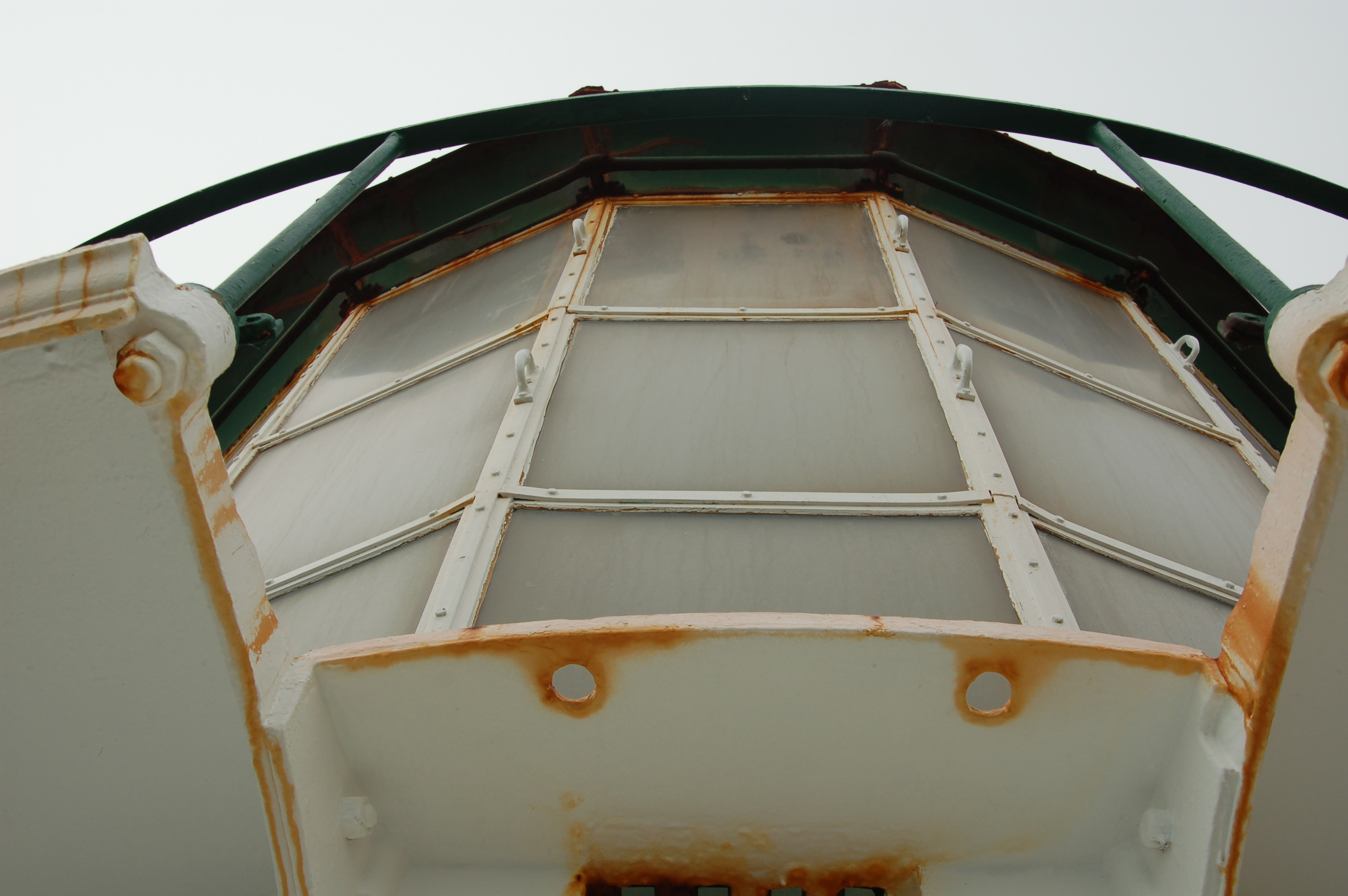
 Old Lamp

 History
Portland Head has long protected Portland and the adjacent area. Cape Elizabeth residents were deeply committed to American independence from British rule. In 1776, the new Town of Cape Elizabeth posted a guard of eight soldiers at Portland Head to warn citizens of coming British attacks.
In 1787, the General Court of Massachusetts (the Massachusetts legislature) provided $750 to begin construction of a lighthouse. In 1790, when the United States Government took over the responsibility of all lighthouses, Congress appropriated $1,500 for its completion. The original tower measured 72' from base to lantern deck and was lit with 16 whale oil lamps. It was first lit on January 10, 1791.
Construction of the first Keeper's Quarters began in 1790 as the result of a contract signed by Massachusetts Governor John Hancock. A one story dwelling built to replace the first keeper's house was erected in 1816. It measured 34' x 20' with two rooms, a cellar and a porch in the rear.
By 1864 a 4th order Fresnel lens and a cast iron staircase were installed.
By 1865, the tower was raised 20' and a 2nd order Fresnel lens was installed. A portion of this lens may now be seen at the Museum at Portland Head Light. Except for a period between1883 and1885, this lens was in the lighthouse until 1958.
Late on Christmas Eve in 1886, the three masted bark Annie C. Maguire struck the ledge at Portland Head. Keeper Joshua Strout, his son, wife, and volunteers rigged an ordinary ladder as a gangplank between the shore and the ledge the ship was heeled against. Captain O'Neil, the ship's master, his wife, two mates, and the nine man crew clambered onto the ledge and then to safety . The cause of the wreck is puzzling since visibility was not a problem. Members of the crew reported they "plainly saw Portland Light before the disaster and are unable to account for same."
The current Keepers' Quarters building was constructed in 1891 as a two story duplex. Until 1989, it was home to the head and assistant lighthouse keepers and their families.
Portland Head Light was the responsibility of the United States Department of the Treasury from 1790 to 1852 when management was transferred to the US Lighthouse Board. The Board was reorganized into the Bureau of Lighthouses in 1910. In 1939, aids to navigation became the responsibility of the United States Coast Guard. On August 7th, 1989, Petty Officer Davis Simpson struck the US flag for the last time at the decommissioning ceremony recognizing the automation of the lighthouse. The property was leased in 1990 to the Town of Cape Elizabeth. Three years later, through the efforts of United States Senator George Mitchell, the property was deeded to the Town. The United States Coast Guard maintains the actual light and the fog signal, but the remainder of the property is managed by the Town of Cape Elizabeth.
http://www.portlandheadlight.com
 On 2006, this photoblog has incredibly increased its visits and comments (thank you all!) so that's why I decided to ask you for an exchange: my pictures for a (very) little bit of your money, trying to reach 1000€ to construct a (potable water) well at El Salvador, this time through PLAN, a NGO involved on the improvement on children's life over 65 countries since 1937. You can check some of their project (in Spanish) at this link. And they need some economical resources......
So here is where I ask you to for some help! :)
More info by clicking here or in the banner sitted on the left top of the photoblog pictures. Thank you very much in advance. :)

Mennn… This takes to LOT of Time… which I don't have AT the moment…. Humm… Post-processing takes too much Time and patience for me…
by BB (O.ö)